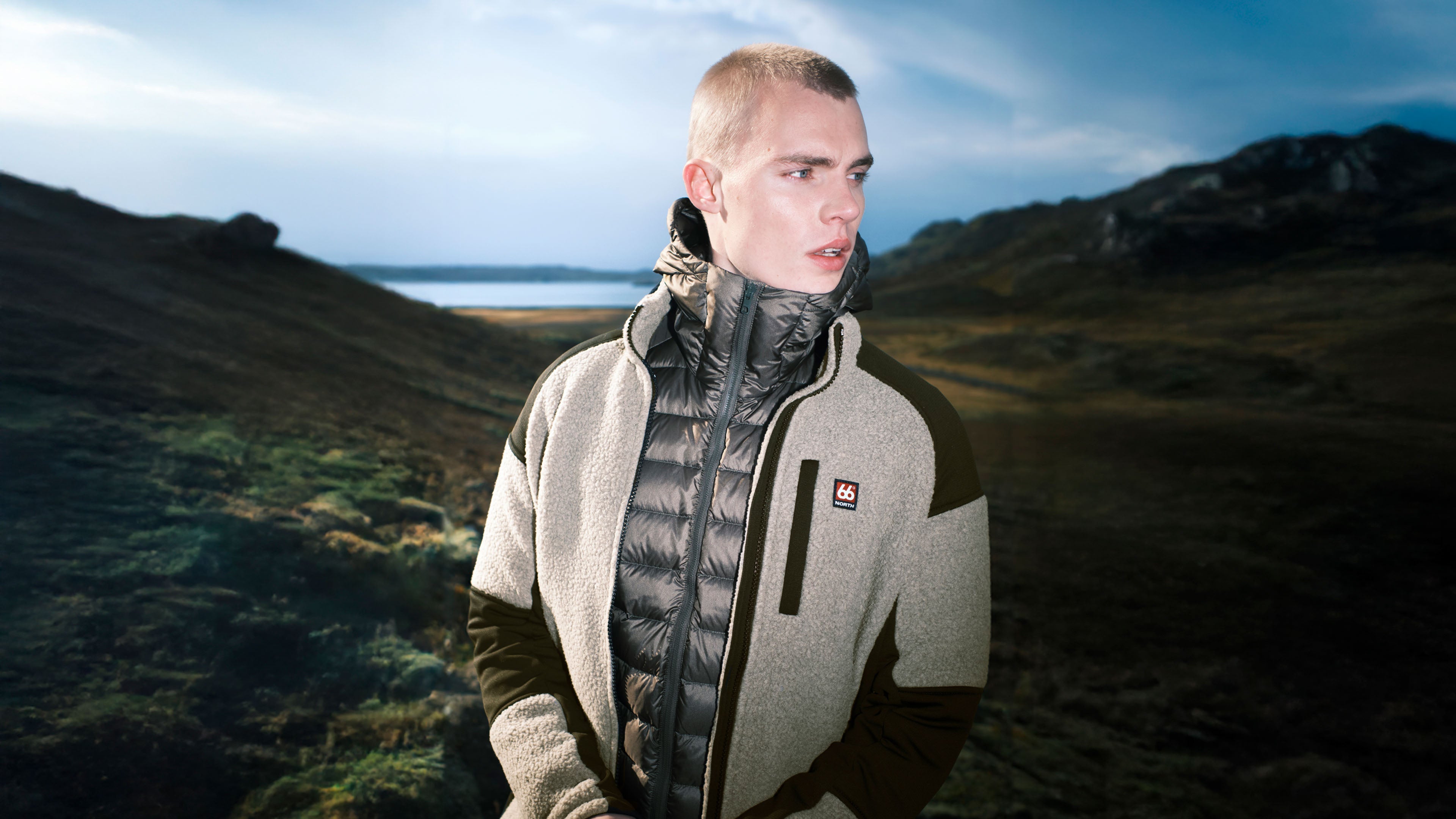

Shell jackets
Our shell jackets are the modern evolution of necessity: multi-purpose, high-performance tools designed to perform across multiple environments. From the waterproof protection of the Hornstrandir GORE-TEX Pro to the breathable versatility of the Snæfell, each piece is designed and proven in Iceland. Explore our shell guide here.
- Men´s
- Women´s

![model-men [188cm / L]](http://66north.com/cdn/shop/files/W11419-C120-Model-1-AW26.png?crop=center&height=5199&v=1777215749&width=4000)


![model-men [188cm / L]](http://66north.com/cdn/shop/files/W11324-315-Model-1-AW26.png?crop=center&height=5199&v=1777214508&width=4000)


![model-women [170cm / M]](http://66north.com/cdn/shop/files/W11325-315-Model-1-AW26.png?crop=center&height=5199&v=1777214437&width=4000)

![model-men [188cm / L]](http://66north.com/cdn/shop/files/W11459-P197-Model-1-AW26.png?crop=center&height=5199&v=1777215621&width=4000)

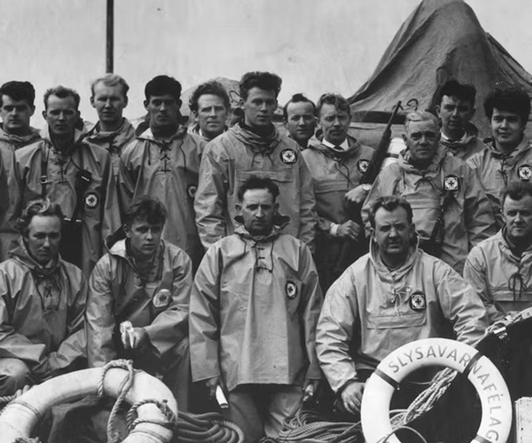
100 years. 100 people.
Evolving with the Icelandic nation. To celebrate, we’re highlighting the people who have shaped our brand. Following an open casting call, we spent the past year travelling across Iceland to meet and photograph 100 individuals born between 1926 and today.
New arrivals


Suðureyri T-Shirt
T-shirt


Suðureyri T-Shirt
T-shirt


Suðureyri Hoodie
Hoodie (Unisex)


Suðureyri Hoodie
Hoodie (Unisex)


Women's Hengill Shorts
Shorts


66°North Wash Bag
Wash Bag


Men's Kjölur Pants
Pants


Dyngja Beanie
Beanie (Unisex)


Tindur shearling
In Iceland, it works effortlessly as a standalone outer layer during summer. Elsewhere, it becomes an ideal transitional piece for cool days in spring or fall.
![model-men [191cm / M]](http://66north.com/cdn/shop/files/K11871-583-model-1-2-3jpg.png?crop=center&height=5199&v=1777216087&width=4000)

![model-women [173cm / M]](http://66north.com/cdn/shop/files/K11870-909-model-1jpg.png?crop=center&height=5199&v=1777216115&width=4000)

![model-men [191cm / M]](http://66north.com/cdn/shop/files/K11872-909-Model-2-Ajpg.png?crop=center&height=5199&v=1777216073&width=4000)

![model-men [191cm / M]](http://66north.com/cdn/shop/files/K11872-583-Model-Ajpg.png?crop=center&height=5199&v=1777216067&width=4000)


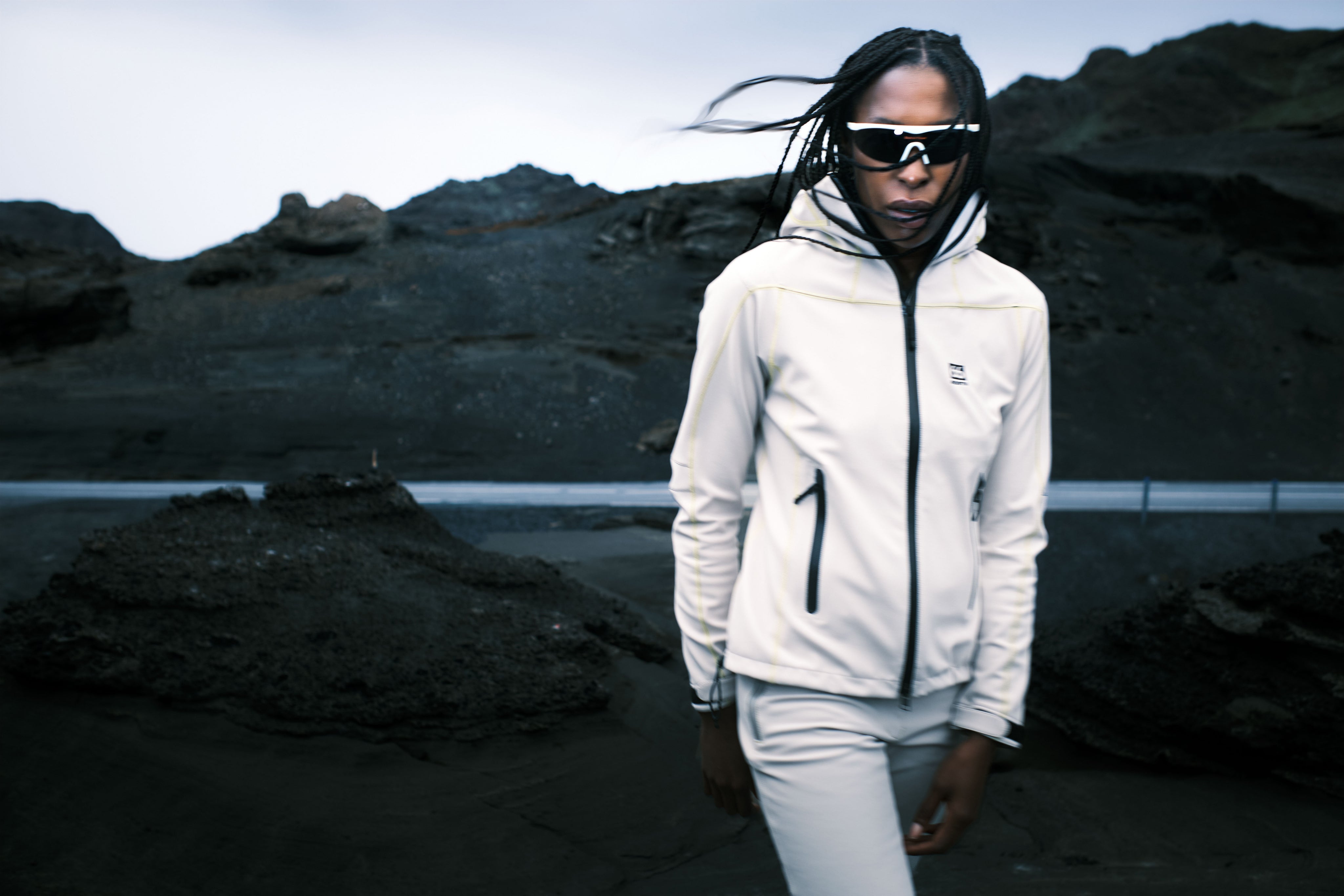
The running edit
Designed with functionality at the forefront of each piece to ensure runners feel not only comfortable but safe during their trail excursions.
- Men´s
- Women´s


Light-weight packable rainwear
Introducing the new Aðalvík packable collection—our lightest, most versatile rainwear yet. Ultra-light. Fully packable. Ready whenever you are.
Aðalvík packable collection


![model-men [188cm / L]](http://66north.com/cdn/shop/files/W11451-819-Model-1-SS27_5c298cac-431c-471f-ac2b-716ec728716c.png?crop=center&height=5199&v=1778756598&width=4000)


![model-men [188cm / L]](http://66north.com/cdn/shop/files/W41200-900-Model-1-SS27_ffe9ec4a-f8b0-46ba-b133-18c404df7941.png?crop=center&height=5199&v=1778756922&width=4000)

![model-men [188cm / L]](http://66north.com/cdn/shop/files/W11450-900-Model-1-SS27_4ea74ab5-50e2-46b1-8dd2-53972a2a9ed6.png?crop=center&height=5199&v=1778756758&width=4000)


![model-men [188cm / L]](http://66north.com/cdn/shop/files/W11451-900-Model-1-SS27_15fe69fa-1f4d-4991-9472-8ea6bb6e87d4.png?crop=center&height=5199&v=1778756603&width=4000)

Designed and proven in Iceland since 1926
Durability
We have always protected people with our clothing. If there is a defect we will repair it free of charge
Repair and recycling
We belive products should last a lifetime. We are committed to repairing your products whatever its age.
Circular
Through our holustuc approach to circularity, we can minimize harm, mitigate our impact and make a net positive impact on the world.